
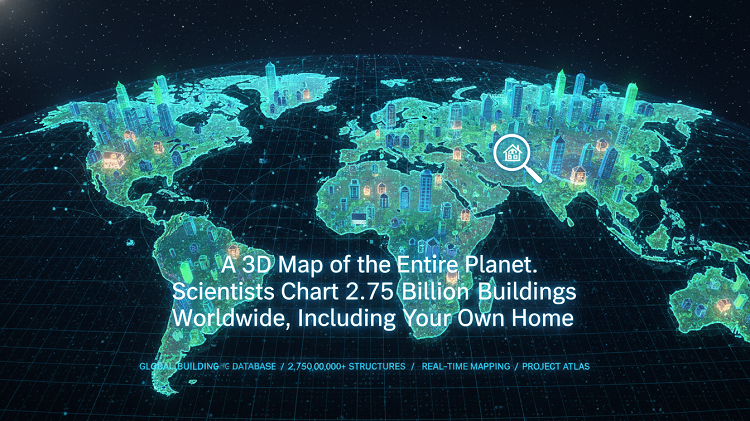
Researchers have unveiled a groundbreaking interactive map that charts the location and three-dimensional shape of nearly every building on the planet, offering an unprecedented digital record of the world’s built environment. ScienceAlert
The project, called the GlobalBuildingAtlas, was developed by a team of scientists at the Technical University of Munich (TUM) in Germany and incorporates data on more than 2.75 billion buildings from satellite imagery and artificial intelligence models. ScienceAlert
How the 3D Map Was Created
To build this global 3D atlas, the research team analysed almost a million high-resolution satellite images captured in 2019 and used machine-learning algorithms to estimate building heights and shapes where direct data was missing. This approach allowed the creation of detailed three-dimensional models for structures in urban and rural areas alike. Phys.org
Unlike traditional two-dimensional maps, the 3D models show not only the footprint of each structure on the ground but also its volume and height, giving a much richer depiction of how communities and cities are physically configured. ScienceAlert
Public Access and Scale
The resulting GlobalBuildingAtlas database is publicly accessible, meaning anyone can explore almost any location on Earth in three dimensions, from dense megacities to small towns. Because it covers a vastly greater number of buildings than earlier global datasets, the atlas represents the most comprehensive depiction of human construction ever assembled. GIM International
Many regions previously poorly represented in global maps including parts of Africa, South America and rural landscapes are now included in the dataset, helping to fill long-standing gaps in global geographic information. Phys.org
Why 3D Building Data Matters
According to scientists, 3D building maps offer significantly deeper insights into patterns of urban growth, infrastructure layout, and even living conditions compared to conventional flat maps. By showing how much space structures occupy above ground, researchers can better estimate population density, building volume per person, and how cities are expanding vertically as well as horizontally. ScienceAlert
These enhanced insights have practical applications for multiple fields, including urban planning, disaster preparedness, climate modelling, and sustainable development. For example, the data can help governments and planners identify where housing and public services are needed most or assess vulnerability to natural hazards like flooding or earthquakes. GIM International
A Tool for Future Challenges
The creation of the GlobalBuildingAtlas marks a major milestone in geospatial science. By combining vast amounts of satellite imagery with cutting-edge AI, researchers have not only visualised the world’s built environment on a global scale but also provided a powerful new tool for scientists, policymakers, and the public. ScienceAlert
As cities around the world continue to grow and evolve, the atlas could play a key role in helping to shape more inclusive, resilient and sustainable urban futures.